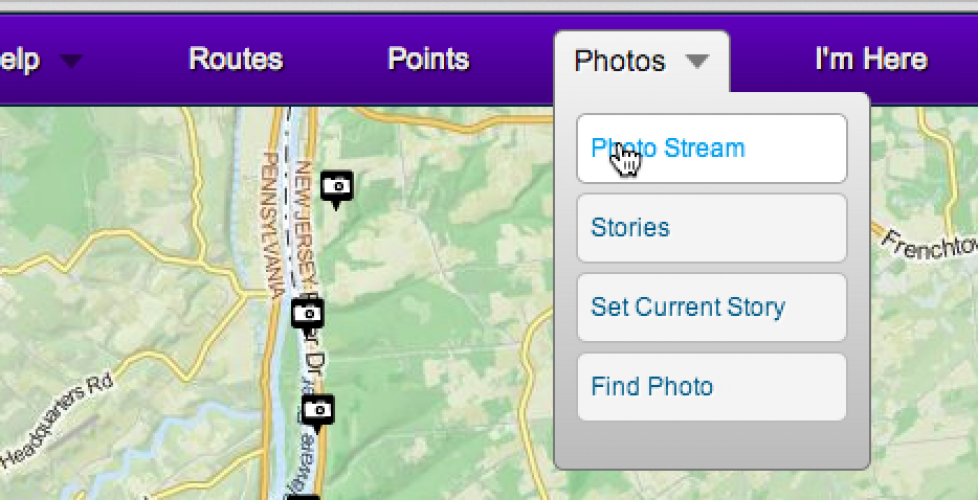
Introducing WikiMapping Photo Stories
A good map tells a story. Photos connected to points on a map provide a sense of place. And there’s nothing like text to provide context.
Let’s put WikiMapping photo stories in the context of planners getting public input, or bicyclists traveling around the world, or a non-profit program manager communicating the past month’s activities to a board of directors. I think it would be particularly helpful to bike tour leaders who need to communicate opportunities to each other from year to year.
Points on the map are given context. So, a bicyclist providing input on a bike plan could say, “These are conditions I encounter on my bike commute. This is where the problem spot is, and here’s a photo of it.” Rather than just seeing points on a map, the bike planners see an individual’s experience.
Likewise, a bicycle club rider can draw a bike route using snap-to roads, add some photos of the beautiful horse country, and write a short story about the trip. The story is like a blog post, and you can even add photos directly in the text.
Photos have been one of the key features of bicycle maps I have designed over the years. As we introduce photo story, I look forward to using it in my explore wikimapping project.

