WikiMapping’s custom routing for the East Coast Greenway
The WikiMapping routing that we are developing will help bicyclists and walkers navigate the East Coast Greenway from Maine to Florida. The East Coast Greenway (ECG) gets better as new trails are added to the combined on-road and off-road route. Ultimately, users will be able to select two points along the ECG and get customized directions on their mobile devices.
Why create a new routing tool if others exist? In my opinion, turn by turn instructions with google tend to be pretty good. I like MapQuest’s turn icons. But we want to give the East Coast Greenway users customizable turn-by-turn directions. For example, rather than directing someone to turn onto a road, the ECG routing may need to instruct someone to walk their bike on the sidewalk next to the road.
This same tool can be use for creating detailed off-road routing. For example, it could be used to create directions for navigating a disc golf course or a hiking trail.
Here’s how the wikimapping routing process is working:
[unordered_list style=”bullet”]
- Import a kmz as a template. I tend to use MotionXGPS to get tracks
- Draw line segments. This is a lot of work, but we want to make sure that we are able to make changes to the route.
- Add road names to each segment. We’ve automated this.
- Join segments to create a point that can have customizable turn directions between the two segments.
- The user can now select two points on a line and get turn-by-turn directions that have the information ECG staff wants to provide.
[/unordered_list]
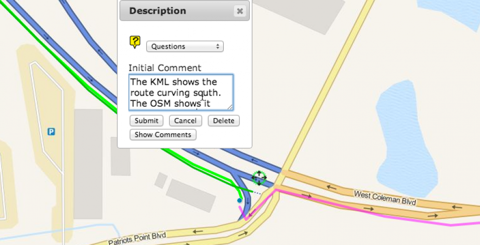
At this point, we haven’t formatted the turn-by-turn directions, but it is coming. I added a Questions category to make notes of where the ECG KML seems to differ from Open Street Map.


