Are you asking the right questions?
“Where do you need to go?”
“How do you want to get there?”
“What are the barriers?”
“Where is there a problem?”
Planners are asking these kinds of questions using WikiMapping so that governments and organizations can response effectively to their constituents’ needs.
What is WikiMapping?
Basically, it’s a tool that you can use to set up a map where a few people or thousands can share their perspectives with you or with each other. Planners have created hundreds of projects in multiple languages. WikiMapping is customizable.
Who is using WikiMapping?
We designed WikiMapping around the needs of the best bicycle/pedestrian planning firms in the country. Bicycle advocacy organizations are using WikiMapping to manage national bicycle routes and for local research. Several of the top (Platinum status) Bicycle Friendly states and communities are using WikiMapping. Tourism organizations are using WikiMapping to display their printed bike maps digitally.
- State DOTs
- Large Metropolitan Planning Organizations
- Small Regional Development Corporations
- Counties
- Cities
- International, national, state and local non-profits
If you’d like references for any kind of organization, just ask!
What kind of results are planners getting?
Even the simplest project can get several hundred results overnight. Some projects get several thousand comments. And some get less than 100 but still provide actionable results. Or, you can just use a WikiMapping project as an easy to manage presentation tool. That said, most organizations that set up and activate a paid project find value in WikiMapping and continue to get multiple projects.
Who can set up a project?
Just about anybody. There is no charge to set up a project, and we often reach out to people to help them find the best approach for the questions they wish to answer. Projects work with a minimal amount of comments and users until activated. If you need help, we’re glad to help.
What’s it cost?
We offer a do-it-yourself price of $349 per project per year. This price includes email and video screen sharing support as needed. Payments are made via PayPal when you activate a project. Or, we can send a digital invoice so that you can pay by check. We can also provide an estimate to set up customized projects with code.
Is WikiMapping compatible with my workflow?
WikiMapping comments and surveys can be exported to KML files, ArcGIS Shapefiles, and CSV for excel. Some organizations skip this all together and use the on-screen results. Or, they set up WikiMapping to automatically email survey results to specific people based on how the questions are answered.
WikiMapping can present base maps as maptiles using your own custom maps or maps served through mapbox.com.
What about privacy?
We look at projects that people set up so that we can provide assistance. WikiMapping provides several login/registration options to meet the needs of various projects. When people add comments, we expect these to be public unless the project is set up with privacy restrictions.
Who created WikiMapping, and how big of an organization are you?
WikiMapping was founded by Steve Spindler and John Zeng in 2013. We are a small, capable team that cares about empowering our clients to do their best.
Other ways to use WikiMapping
Database Management
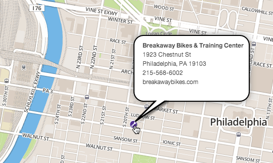
Crowdsource Updates – Bike shops come and go, and it can be challenging to keep things updated. With WikiMapping, you can let them.
To make a change – A visitor can register with his or her email and add a new shop. Alternatively, he or she can comment on an existing shop.
How you benefit – As a project administrator, you become the content moderator, not just the provider. Get an optional alert email each time someone makes a change to the database.
Public input - Validated
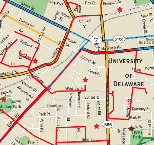
Getting routes – As a planner, you not only need origin destination data, you may also need to know routes and barriers.
People add comments – With this survey, people can draw lines and add points on a custom base map.
People validate comments – People can view comments made by others, and they can add their own comments.
It’s like being at a public meeting and having people show you what they care about.
Public input - Closed Survey
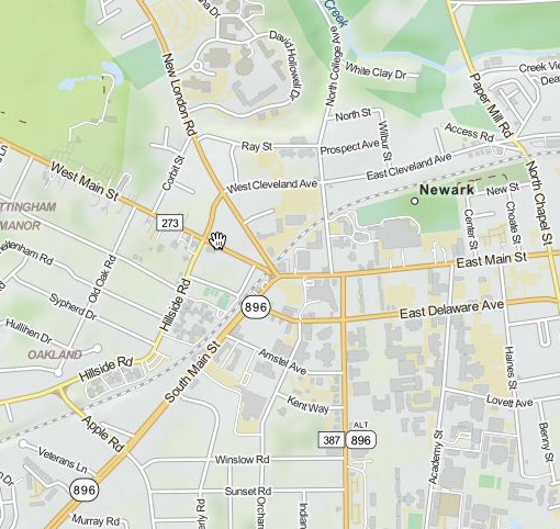
Survey on a Map – A survey question pops up when a line or point is added to the map.
Private results – People can’t see comments from others.
Three kinds of surveys – Surveys are attached to the Welcome message, Line, and Point.
You have choices in how you set up a project. As part of a survey, people can even upload files.
Field research on your phone
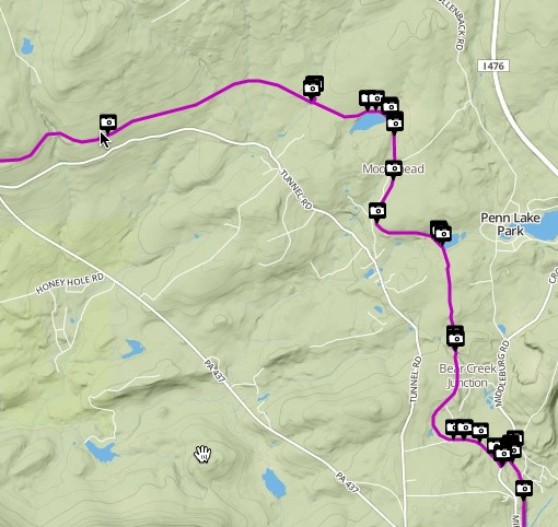
Save Time in the field – Take photos with your mobile phone and upload them to the map. No app required.
Import tracks – If you want to track your route with an app such as MotionXGPS, you can then import the routes into your project.
How we use this – We take photos with our mobile devices and upload them from a desktop. Then we have data that we can refer to when making maps.
Custom turn-by-turn routing
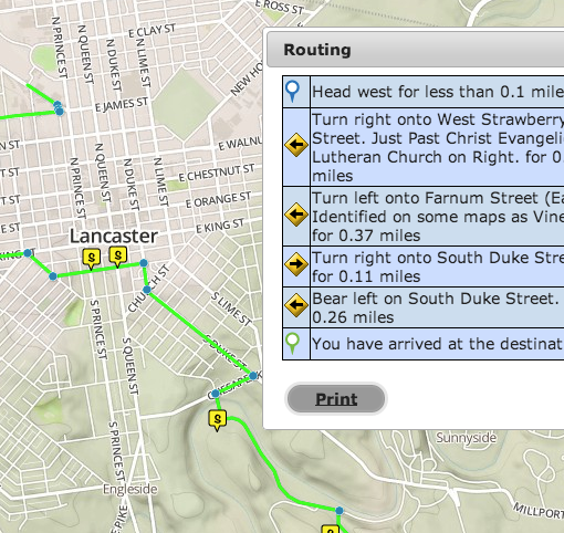
Different from google or Mapquest – People can get your custom turn by turn directions to say anything you want. And they can print them out.
Add more precise directions – “Turn right onto the sidewalk to cross the bridge.”
Give people a self-guided tour -Visitors can create directions between any two points on your custom route. This data can be made audible via an iOS or android app, which our Map Team can customize.
Tested – Cyclists used WikiMapping for navigating from Florida to Maine this summer.
If you want us to walk through a project with you so that you can learn more, email us at mapteam@wikimapping.com.
