

For Example
These projects highlight some uses of WikiMapping.
Bike Shop Database
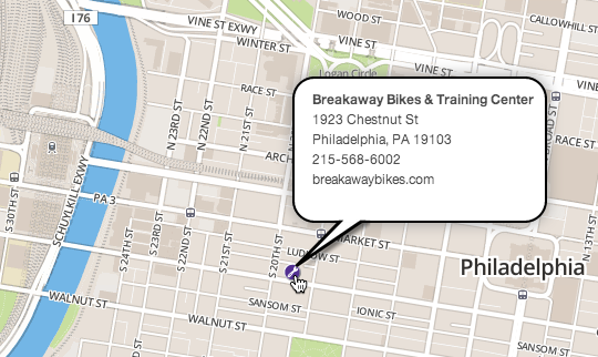
The problem with maintaining something like this is that bike shops come and go. So, if people need to update the database, you can let them.
If visitors want to make a change, they can register with their email and add a new shop. Or they can comment on an existing shop that someone else has entered.
How you benefit: You become the content moderator, not just the provider. If you’d like, you can get an alert each time someone adds a new bike shop.
Public input - People view each others' comments
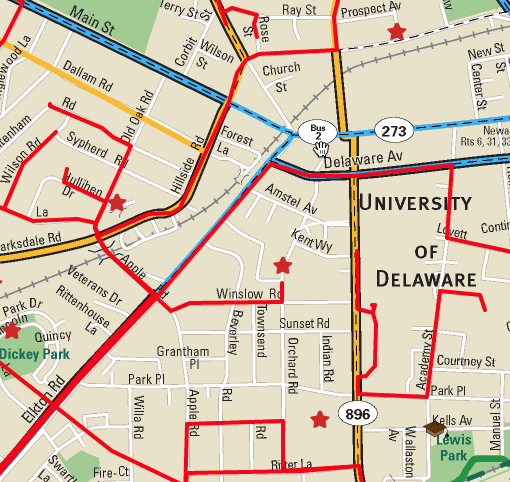
As a planner, you not only need origin destination data, you may also need to know routes and barriers. With this survey, people can draw lines and add points on a custom base map. People can see comments made by others, and they can add their own comments. It’s like being at a public meeting and having people show you what they care about.
Public input - A closed survey
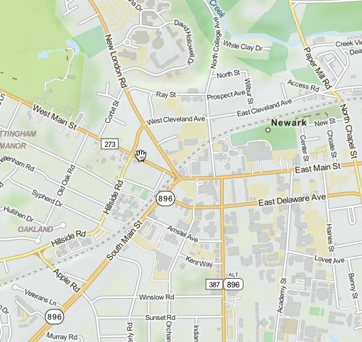
This project is based on the one above, but it focuses on just asking questions and is displayed over Open Street Map. People can’t see comments from others. Surveys are attached to the Welcome message, Line, and Point. How you benefit: You have choices in how you set up a project. If something doesn’t work the way you want to it, just ask.
Field research on your phone
Field research with a phone doesn’t require any special apps, although if you want to track your route with MotionXGPS, you can then import the routes into your project. I take lots of photos that sync with his computer via dropbox. Back at my office, I import the photos, created a story, and add notes about places. I get data that I can trust when editing a map.
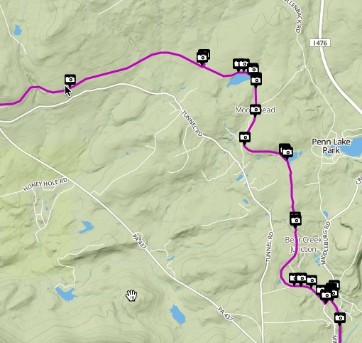
Custom turn-by-turn routing
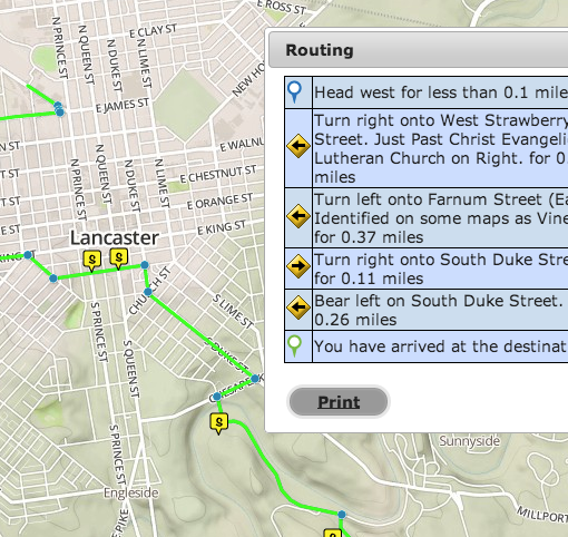
While you can create turn by turn directions with google or Mapquest, they don’t let you create your own custom turn by turn directions. WikiMapping does. For instance, you can say, “Turn right onto the sidewalk to cross the bridge.” Visitors can create directions between any two points on your custom route. This data can be made audible via an iOS or android app, which we can customize.