WikiMapping – Print/Web combinations
We are updating a map of Northeastern Pennsylvania for the Pennsylvania Environmental Council. This week I decided to change the projection from State Plane NAD83 to WGS Pseudo Mercator. This will let me use MAPublisher’s Web Tile Exporter so that I can place a map identical to the printed map directly over a google, bing or OSM map base.
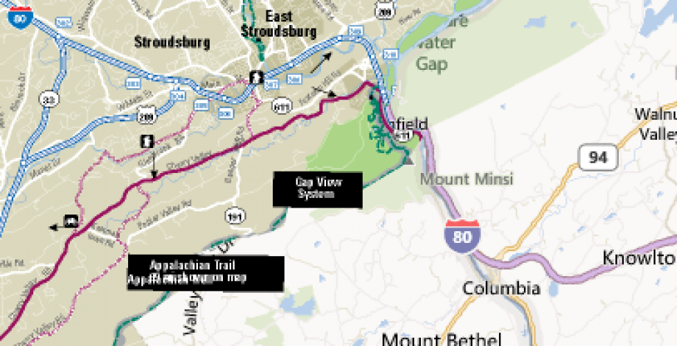
Here is a rough screenshot, where the left side of the image is a custom graphic, and the right half is a Bing map:
My expectation is that when someone zooms in more, they will get only our custom trail data presented over the base map, which will be in either google, OSM or Bing.
Here’s another very rough live example of some lines from the upcoming East Coast Greenway Guide incorporated into the open street map. The dialog box and red dashed lines are part of the map graphic, not an overlay. By using transparency, you can zoom in to a pretty detailed level and use the base layer data combined with the raster image.
By changing the projection but still developing the map in MAPublisher, a plug-in for Adobe Illustrator, I’m able to create these map tiles that will look great on client websites using map tiles even as we publish a printed map.
At some point, my hope is to incorporate my custom maps into WikiMapping projects for greater customization and feedback from people.


